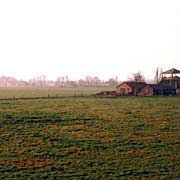
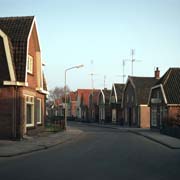
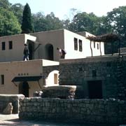
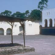
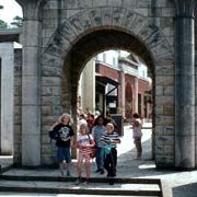
Photos of the Province of Gelderland, the Netherlands

The Province of Gelderland
Gelderland, named after the County of Gelre, dating back to the early 13th Century, is the largest province of the Netherlands, with a total area of 5,137 km². It can roughly be divided into three regions: the Veluwe in the north, the Betuwe in the southwest and the Achterhoek (literally meaning the "back corner") or Graafschap (which originally means earldom or county) in the east.
you may then send it as a postcard if you wish.


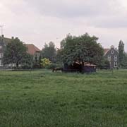

The river Rijn (Rhine) traverses Gelderland from east to west and branches into the Waal, continuing west, and the IJssel, turning north. The river Maas (Meuse) marks the boundary with the province of Noord-Brabant. The total number of inhabitants of Gelderland is just under 2 million.
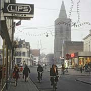
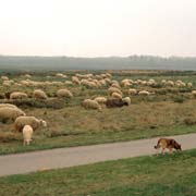
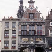
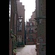
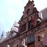
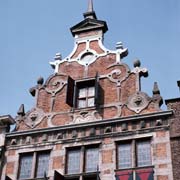
Arnhem is Gelderland's capital; other important towns are the old city of Nijmegen, dating back to the time of Charlemagne in the 8th Century and built on hills along the Waal river; Apeldoorn, surrounded by nature areas; and smaller towns like Zutphen, an old, well preserved town along the IJssel river; Harderwijk, a Zuiderzee town, now situated on the Flevomeer, the lake between the mainland and the new Flevopolders; Tiel, one of the oldest commercial towns and the centre of the fruit cultivation; and Doetinchem, an important regional and industrial centre. Around the small town of Ede, in the west of the province, are extensive heather fields and it is traditionally a centre of sheep breeding.
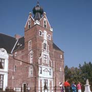
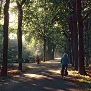
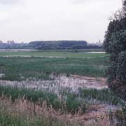
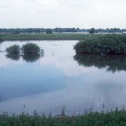
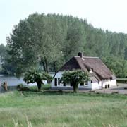
Gelderland has a lot to offer for the visitor, extensive nature areas and historical towns; it is ideally explored by bicycle: everywhere are well signposted bicycle paths and the tourist offices (VVV) have free maps with descriptions of the routes that may be followed. The province can roughly be divided into three regions: the Veluwe, a nature area with what amounts to the largest continuous forest area of the Netherlands; the Betuwe, an agricultural region famous for its fruit cultivation; and the Achterhoek, a mainly agricultural region in the east of the province.